| 2021 |
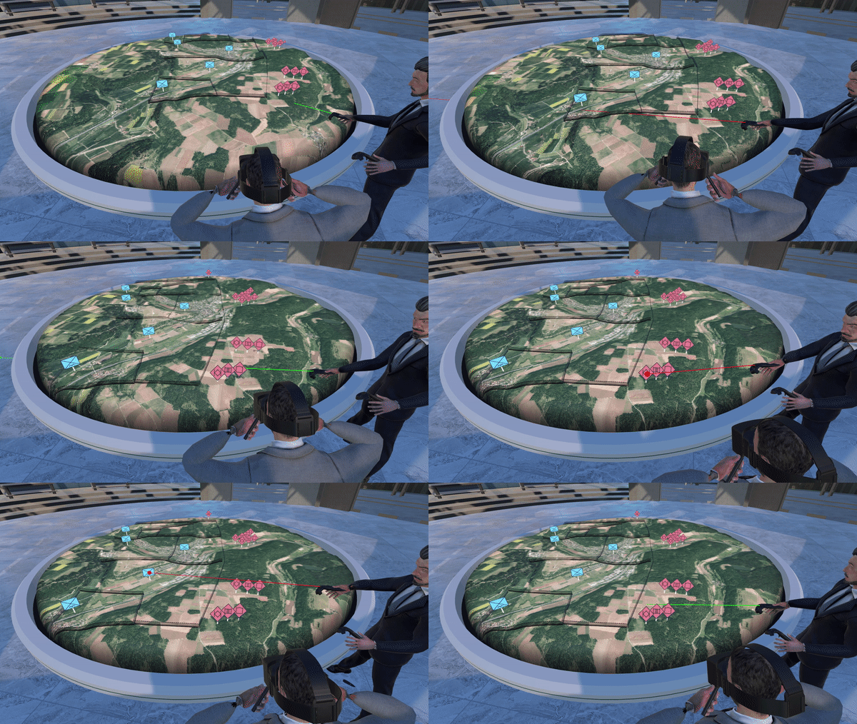
Adrian H. Hoppe, Florian van de Camp, Rainer Stiefelhagen
ShiSha: Enabling Shared Perspective With Face-to-Face Collaboration Using Redirected Avatars in Virtual Reality
Computer Supported Cooperative Work (CSCW) |
2020 |
Adrian H. Hoppe, Felix Marek, Florian van de Camp, Rainer Stiefelhagen
VirtualTablet: Extending Movable Surfaces with Touch Interaction
Advances in Science, Technology and Engineering Systems Journal (ASTESJ) |
2020 |
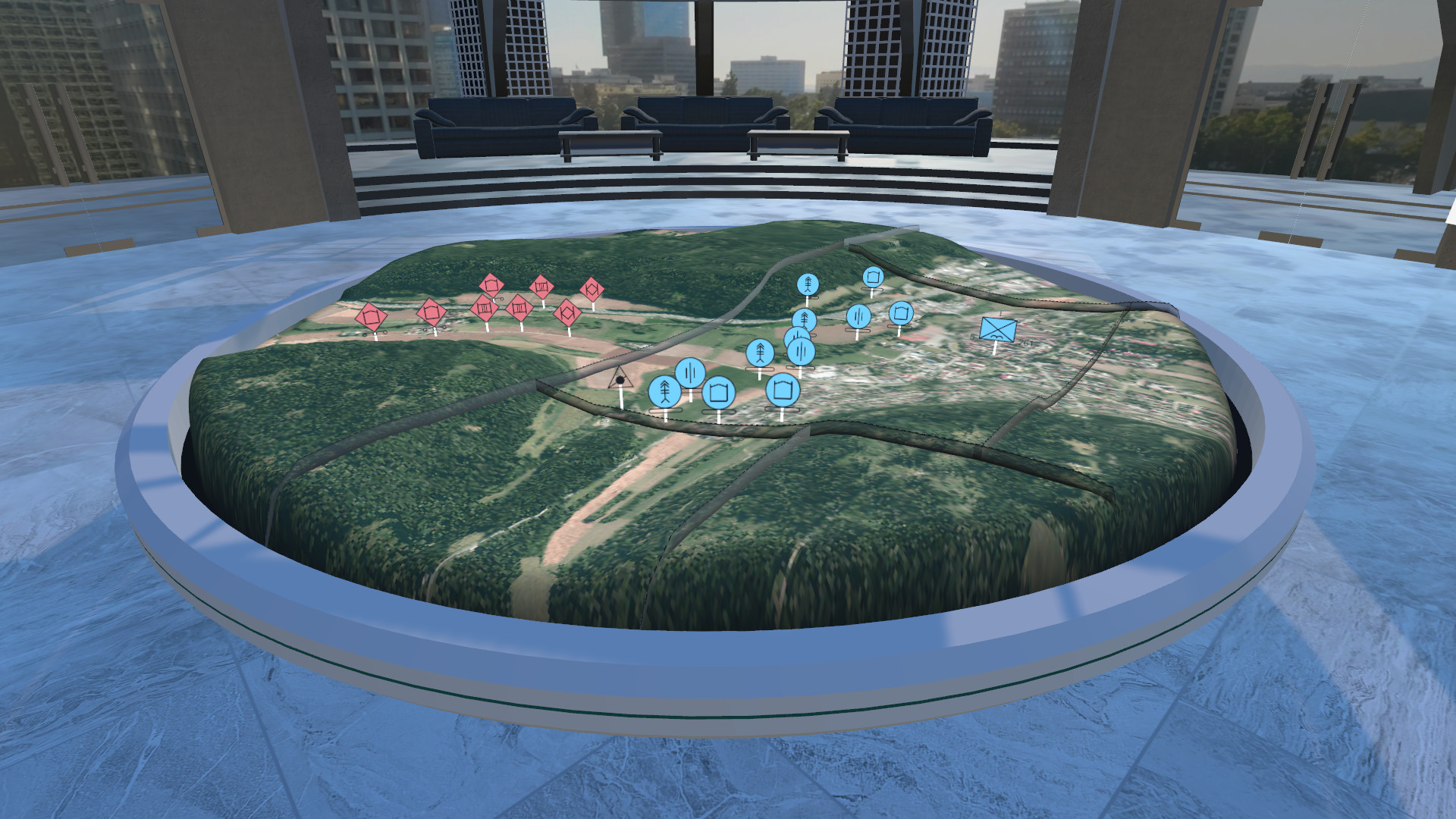
Florian van de Camp, Adrian Hoppe, Gabriel Unmüßig, Elisabeth Peinsipp-Byma
Cooperative and location-independent terrain assessment for deployment planning using a 3D mixed reality environment
SPIE Defense + Commercial Sensing |
2020 |
Adrian Heinrich Hoppe, Leon Kaucher, Florian van de Camp, Rainer Stiefelhagen
Calibration of Diverse Tracking Systems to Enable Local Collaborative Mixed Reality Applications
International Conference on Human-Computer Interaction (HCII) |
2020 |
Adrian Heinrich Hoppe, Arthur Anselm, Florian van de Camp, Rainer Stiefelhagen
Enabling Interaction with Arbitrary 2D Applications in Virtual Environments
International Conference on Human-Computer Interaction (HCII) |
2019 |
Boris Wagner, André Thévenot Ease of orientation: From 2D Geodata to Virtual Reality. In: Geo-information for Disaster management (Gi4DM) |
2019 |
Adrian H. Hoppe, Felix Marek, Florian van de Camp, Rainer Stiefelhagen: VirtualTablet: Extending Movable Surfaces with Touch Interaction In: IEEE VR 2019 |
2018 |
Hoppe, Adrian; Reeb, Roland; Camp, Florian van de; Stiefelhagen, Rainer: Capability for collision avoidance of different user avatars in virtual reality. In: Stephanidis, Constantine (Ed.): HCI International 2018 - Posters' Extended Abstracts. Proceedings. Pt.II: 20th International Conference, HCI International 2018, Las Vegas, NV, USA, July 15-20, 2018. Cham: Springer International Publishing, 2018, S.273-279. |
2018 |
Hoppe, Adrian; Reeb, Reeb; Camp, Florian van de; Stiefelhagen, Rainer: Interaction of distant and local users in a collaborative virtual environment. In: Chen, Jessie Y.C. (Ed.): Virtual, augmented and mixed reality. 10th International Conference, VAMR 2018. Pt.1: Interaction, navigation, visualization, embodiment, and simulation: Held as part of HCI International 2018, Las Vegas, NV, USA, July 15-20, 2018. Cham: Springer International Publishing, 2018, S.328-337. |
2018 |
Hoppe, Adrian; Westerkamp, Kai; Maier, Sebastian; Camp, Florian van de; Stiefelhagen, Rainer: Multi-user collaboration on complex data in virtual and augmented reality. In: Stephanidis, Constantine (Ed.): HCI International 2018 - Posters' Extended Abstracts. Proceedings. Pt.II: 20th International Conference, HCI International 2018, Las Vegas, NV, USA, July 15-20, 2018. Cham: Springer International Publishing, 2018, S.258-265. |
2017 |
Strentzsch, Gunnar; Camp, Florian van de; Stiefelhagen, Rainer: Digital map table VR: Bringing an interactive system to virtual reality. In: Lackey, Stephanie (Ed.): Virtual, Augmented and Mixed Reality. 9th International Conference, VAMR 2017. Proceedings: Held as Part of HCI International 2017, Vancouver, BC, Canada, July 9-14, 2017. Cham: Springer International Publishing, 2017, S.54-71. |
2017 |
Wagner, Boris; Maier, Sebastian; Peinsipp-Byma, Elisabeth:
Standardized acquisition, storing and provision of 3D enabled spatial data. In: Palaniappan, Kannappan (Ed.); Society of Photo-Optical Instrumentation Engineers, Bellingham/Wash.: Geospatial Informatics, Fusion, and Motion Video Analytics VII: 12 April 2017, Anaheim, California, United States Bellingham, WA: SPIE, 2017, Paper 101990H, 8 S. |
2017 |
Wagner, Boris; Eck, Ralf; Maier, Sebastian:
Concept for a common operational picture in a guidance vehicle. In: Palaniappan, Kannappan (Ed.); Society of Photo-Optical Instrumentation Engineers -SPIE-, Bellingham/Wash.: Geospatial Informatics, Fusion, and Motion Video Analytics VII : 12 April 2017, Anaheim, California, United States Bellingham, WA: SPIE, 2017, Paper 101990I, 8 S. |
2010 |
Maier, Sebastian; Bader, Thomas.:
Neue Interaktionstechniken auf Grundlage videobasierter Handgestenerkennung für eine Multi-Display-Umgebung. In: Grandt, M.; Deutsche Gesellschaft für Luft- und Raumfahrt e.V. -DGLR-, Lilienthal-Oberth; TU Berlin, Zentrum Mensch-Maschine-Systeme -ZMMS-: Innovative Interaktionstechnologien für Mensch-Maschine-Schnittstellen: 52. Fachausschusssitzung Anthropotechnik, 7.-8. Oktober 2010, Berlin. |
 Fraunhofer Institute of Optronics, System Technologies and Image Exploitation IOSB


