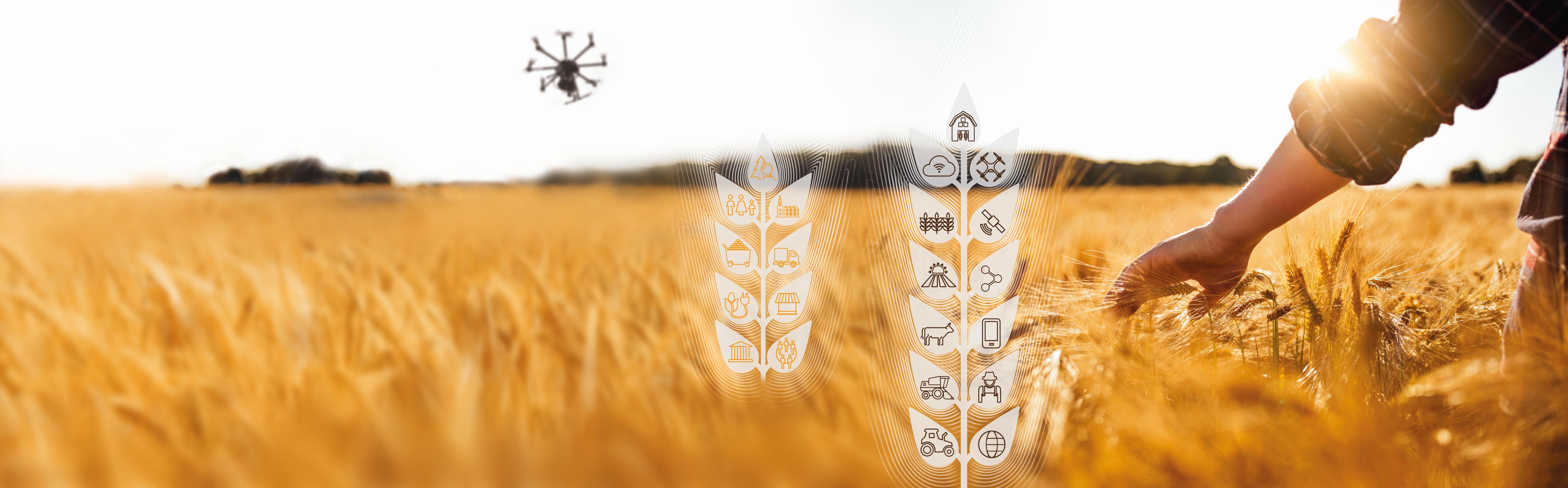


Smart Agriculture - Digitalization in agriculture
By using hyperspectral drones, Fraunhofer IOSB supports the agriculture of the future in the digitalization of work processes in order to produce agricultural products in an environmentally friendly, resource-saving and highly efficient manner.
Digitalization as an opportunity for agriculture
Industrialization has also had a major impact on agricultural technology in recent decades, not only increasing productivity but also causing negative effects: Soil compaction, intensive fertilization, excessive use of herbicides, pesticides and fungicides or various types of genetically modified crops lead to permanent damage to the biosphere. Organic farming has developed as an alternative to this, although it deliberately accepts losses in productivity. In the Fraunhofer lighthouse project "COGNAC - Cognitive Agriculture", eight Fraunhofer Institutes jointly researched what a networked ecosystem for agricultural processes should look like, with the help of which both economic and ecological aspects can be optimized in equal measure.
The aim of the project was to automatically collect data on complex interrelationships in field management and, based on this, to support decision-making processes in the value creation network.
Participating of Fraunhofer IOSB – Department Scene Analysis SZA
Arable land as a value asset.
One of the most valuable assets of sustainable agriculture is healthy and productive arable soil. One of the most important pieces of information for its maintenance is data on the condition of the soil and plants. Without high-resolution digital monitoring of the soil and plants in terms of time and space, targeted, automated field management such as weed control, fertilization, irrigation, harvesting, etc. is not possible. In addition to the farmer's experience, the results of expensive laboratory analyses of individual soil samples, which are then extrapolated to the entire field, currently serve as the data basis. For this reason, the Fraunhofer IOSB is working on bio-monitoring using remote sensing. To this end, various sensor platforms (satellite, aircraft, drone) are equipped with appropriate sensor technology (multi-/hyperspectral, optical, UV, IR, LiDAR, etc.) for autonomous operation and navigation.
Hyperspectral and drone technology
With the growing performance of drones and the establishment of autonomous flight, the practicality of modern UAVs is also increasing. The low flight altitude of the drone ensures a sufficiently precise resolution of the sensor image and still guarantees a high degree of temporal and spatial flexibility. For example, a DJI Matrice 600 Pro or BFD drone with a maximum take-off weight of 25 kg per battery set enables a flight of up to 18 minutes at an altitude of 80 m, whereby an area coverage of approx. 4.2 ha and a pixel resolution of less than 4 cm is achieved.
Conventional (multispectral) cameras are sensitive in the range of visibly reflected solar radiation, while more sophisticated cameras are sometimes also sensitive in the near-infrared or thermal range. A hyperspectral camera (e.g. Hyperspec Co-Aligned VNIR-SWIR from Headwall or the HySpex Mjölnir VS-620 from NEO), on the other hand, measures the entire wavelength range of visible, near-infrared and short-wave infrared reflected light. The sensor not only has three or more channels available (as with a normal cell phone/RGB camera), but several hundred channels. The resulting reflection spectrum forms a spectral signature that is specific to the object and material.
Bio-monitoring through remote sensing
This principle also applies to soils: depending on the nutrient content, moisture, grain size, humus content, etc., the spectral signature changes, which must be measured and interpreted. The difficulty of hyperspectral remote sensing lies in the fact that not only the soil properties themselves influence the spectral signature, but also external factors such as the atmosphere, which leads to a superimposition of the spectral properties.
Using multivariate statistics or deep learning, correlations are established from the spectral data with the pedological or plant physiological parameters. If the correlation between spectral signature and soil properties is sufficiently well represented by the model, it is possible to apply the model to every pixel of the hyperspectral aerial image. The aim is to generate a digital and machine-readable field map in which each pixel (with a resolution of less than 4 cm) contains an assigned soil parameter value.
More information on this topic can be found in the following video:

.pdf)