In the past years, the interest and importance of image-based 3d reconstruction has increased significantly in the use of everyday applications. Especially the advancements of modern hardware and state-of-the-art algorithms, with respect to their performance, facilitate the use of real-time 3d information in numerous applications, such as (urban) navigation, scene interpretation, security surveillance, change detection and the operation of autonomous vehicles.
Image-based 3D Reconstruction and Model Creation
Simultaneous Localization and Mapping (SLAM)

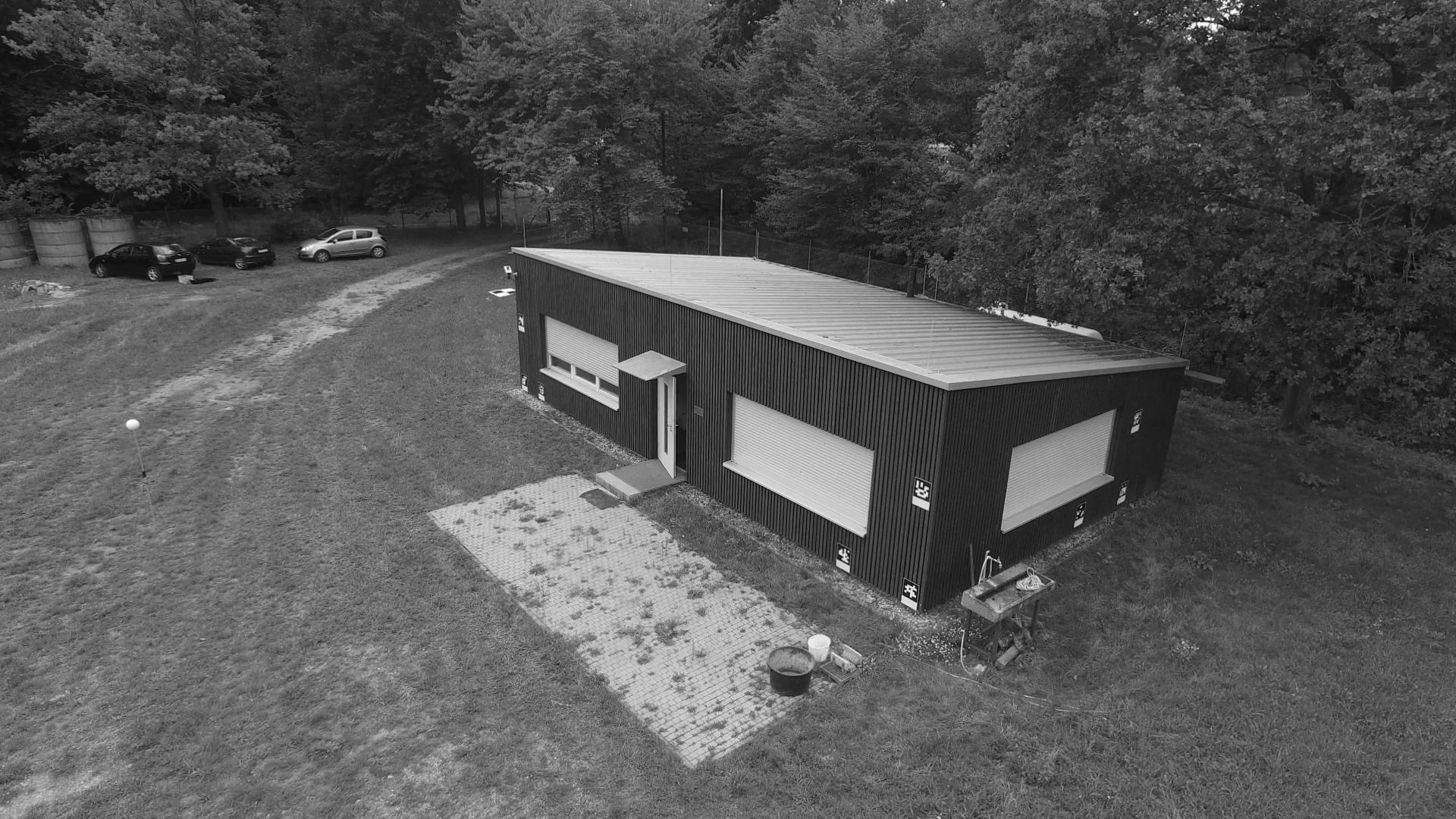
Left: 3D reconstruction of the IOSB building.
Right: Reconstruction of the flight path and camera positions of the drone flight for 3D model creation.
Point Cloud

Left: Orthophoto.
Right: Elevation model of the TMB
The Fraunhofer IOSB offers expertise, algorithms and solutions in a number of different research topics essential to image-based 3d reconstruction:
- Simultaneous visual self-localisation and mapping (vSLAM), needed for the navigation in an known or unknown envorionment
- Geographic localisation and registration, as well as calibration of a single camera or a camera network
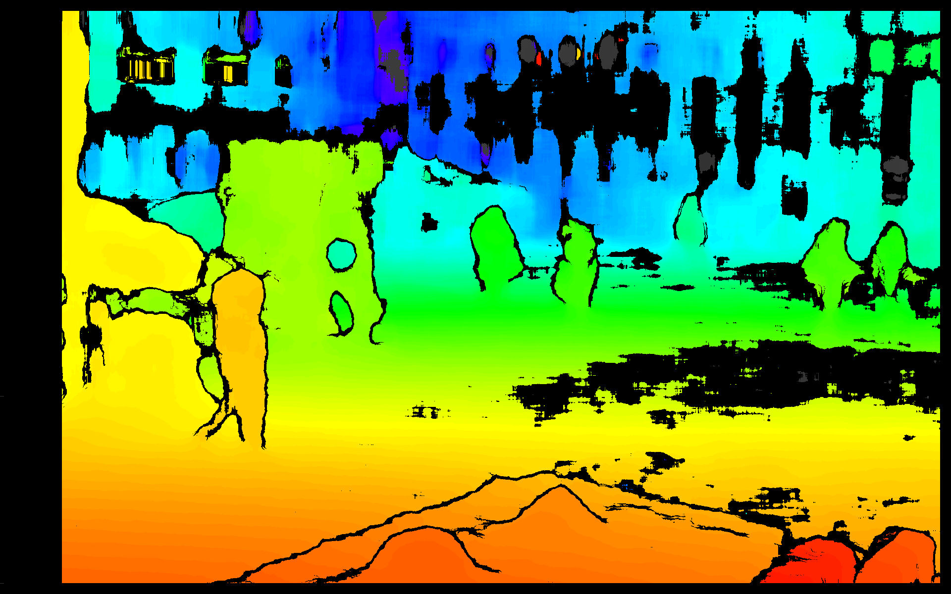
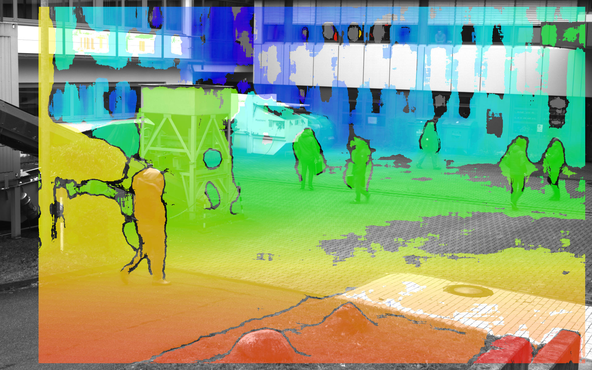
- Stereo vision based on a fixed stereo camera system
- Scene reconstruction from a self-moving camera with Structure-from-Motion (SfM), as well as from a collection of unordered images with Multi-View Stereo (MVS)
- Creation of digital ortho mosaics (DOMs) and digital elevation models (DEMs)
- Visualisation of 3d data
- Use and integration of commercial off the shelf (COTS) photogrammetry software and geoinformation systems (GIS)
Real-time Stereo Reconstruction
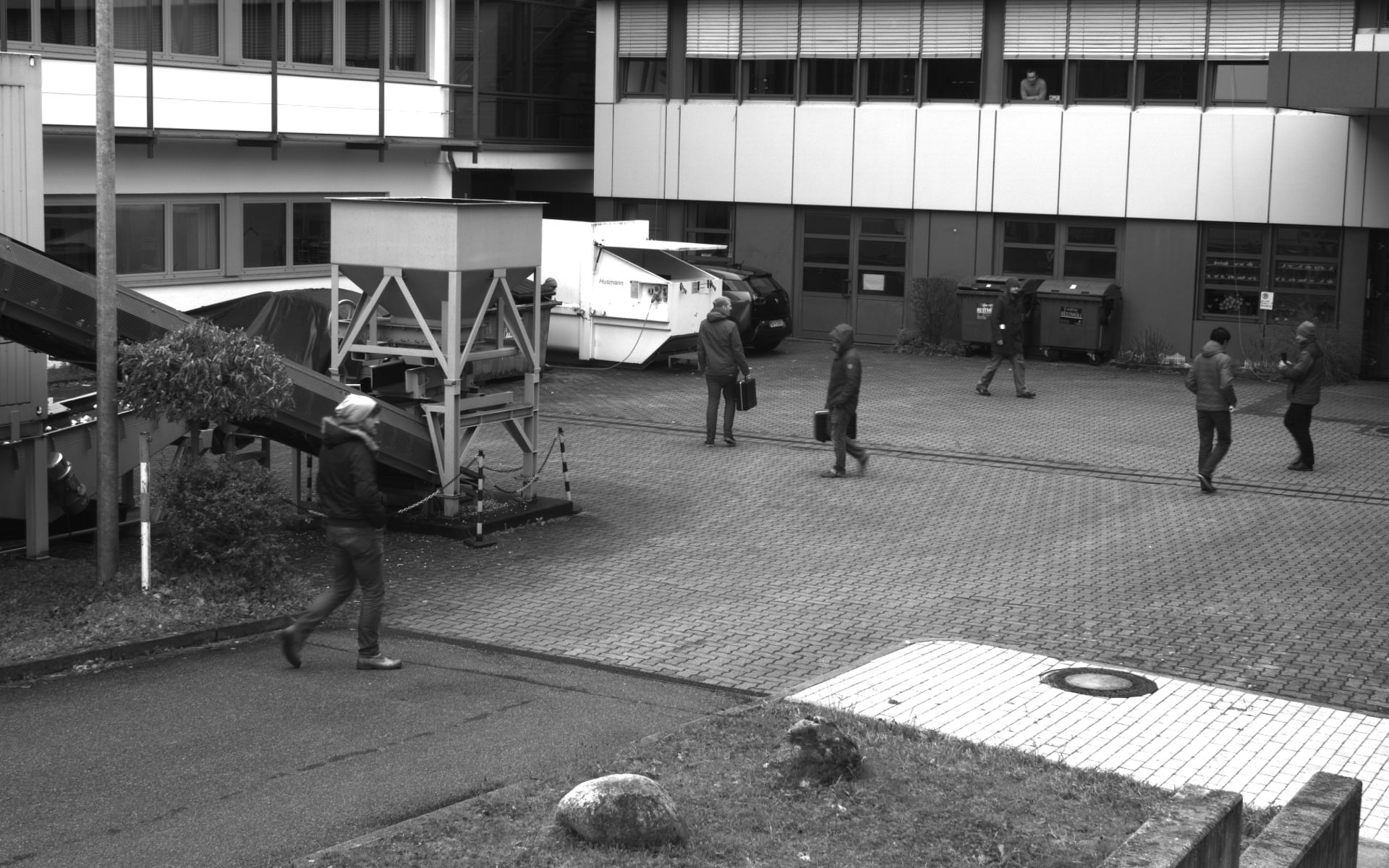
Reference image
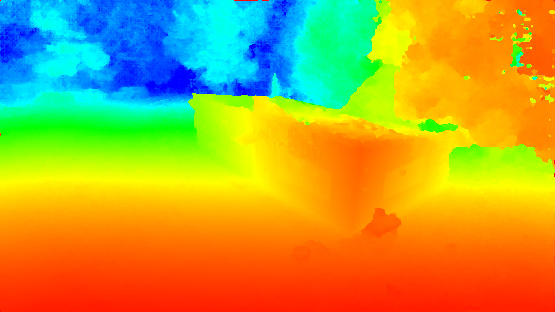
Colour-coded depth map (red: near, blue: far)
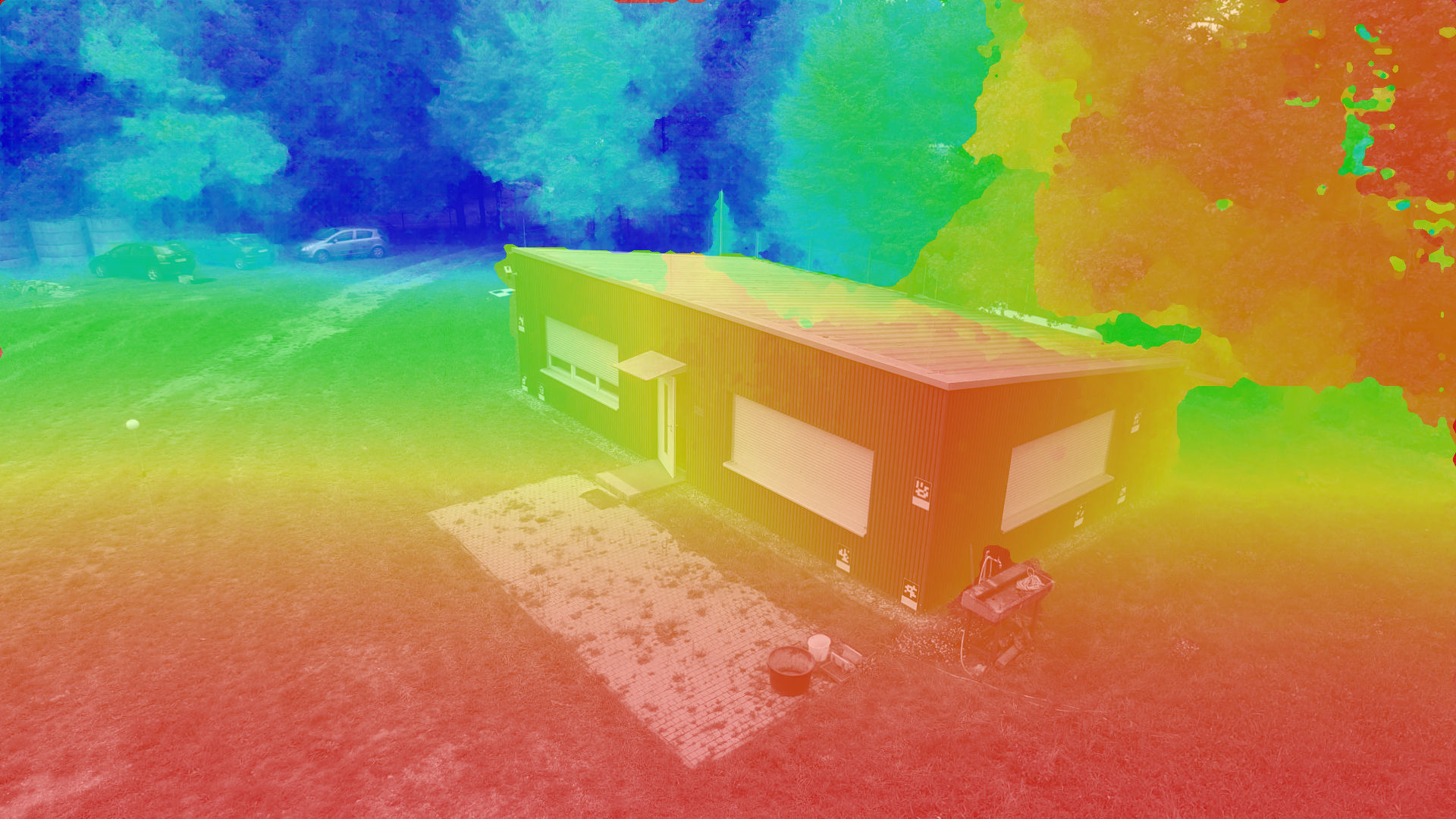
Overlay of the reference image with depth information
 Fraunhofer Institute of Optronics, System Technologies and Image Exploitation IOSB