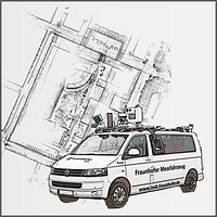
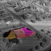
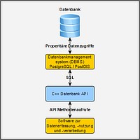
To support the monitoring of urban areas, automatic change detection methods are developed for the analysis of mobile laser scanning data (MLS, ALS). Possible applications are, for instance, damage inspection and heavy/oversized transportation planning. The acquisition of reference data with LiDAR sensors is combined with an object-based data analysis, a registration of overlapping point clouds, and the calibration of the sensor system. The framework for comparison of LiDAR data is divided into segmentation, terrain-referenced localization, and the identification of conflicting information along the laser pulse propagation path. Additional research topics in this field are the efficient storage of area-wide 3D sensor data and their visualization.
 Fraunhofer Institute of Optronics, System Technologies and Image Exploitation IOSB

